Status of tracks, activities, weather and webcams
Route of the Traginers
Route XC/END Blue
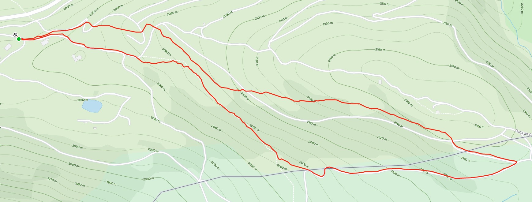
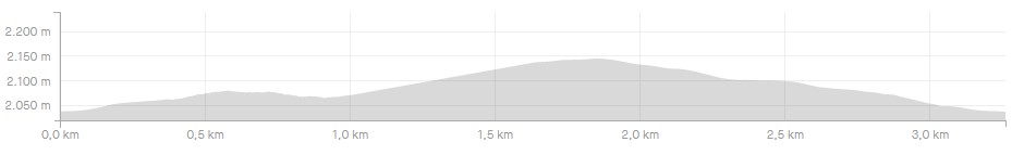
The start and end point of the route is at an altitude of 2000 m, has an incline of 135 m, a distance of 3.5 km and a duration of approximately 45 min.
The blue XC route is the perfect route to start enjoying cycling in an environment that is 100% integrated into the forest, so it is adapted for you!! If you are experienced in the world of cycling, a first warm-up will serve as a "start lap" and if you are just getting started in the world of MTB, it will help you to get some practice and develop your skills.
Once you are at the base, you will start the ascent along a forest track that climbs gently and gradually, perfect for first-time cyclists.
After the ascent by track you will enter the forest where you will continue to climb a path for about 100 m which will take you to one of the first descents, simple and without much of an incline, perfect to start getting the feel for it.
This first descent will take you to the open area of the Conangle , the ideal place and views to stop for a minute, enjoy the scenery and take a photo.
At this point you will have the option of returning to the base, if you have found the section so far very difficult. To go back, you simply have to follow the signs for a simple forest trail that will take you to the Elevation 2000.
If, on the other hand, you want to follow the route, it's time to start the second climb again along a forest track overlooking the Pic Negre Peack. At the end of the ascent, you will reach the Roca de Pimes refuge, located at an altitude of 2,135 m and the highest point of the route. At this point you will begin the descent to the base. An integrated descent in the most natural way in the forest, where you can find small jumps, supports on the curves and a lot of adrenaline.